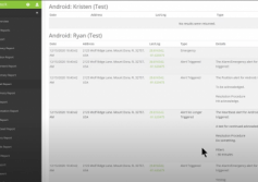
GSatTrack How to Series: Activity Log
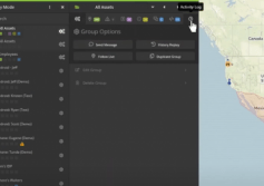
Scott shows us the Activity Log, which is a cumulative list of notifications of all event types for a given Asset or Group during the active session's date range of data.
...
View
View
OGSS: Lone Worker Safety
Oil and Gas Solutions Series
This article is part of a series on satellite-based solutions that are intended to help oil and gas companies improve their bottom line by highlighting opportunities to leverage data in an effort to improve efficiency and operational safety. To view other OGSS articles, please see the links in the "Looking Ahead" section of the introductory article.
Real World Scenarios with High Stakes
I have a former colleague who...
More
More
GSatTrack How to Series: Asset Status
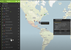
Scott explains how users can find Asset Status indicators in the list panel, what they mean, and how to expand them for more information.
...
View
View
GSatTrack How to Series: Theft Prevention
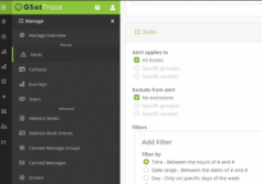
Scott walks through the process of setting up an Alert for unauthorized Asset movement, which can be used to monitor potential theft.
...
View
View
Ranching Intelligence with West Sky Technology
When Global Satellite Engineering began working on the GSatSolar, we knew the technological pieces required to deliver a solar unit in a small form factor. Considering our own CEO Jeff Palmer had been a member of 4H in his youth, and still enjoys sharing stories of his successes at cattle competitions, we knew that with our goal to revolutionize the agricultural world and provide a product that ranchers and farmers alike would find useful, we...
More
More
GSatTrack How to Series: Wiki
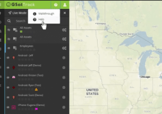
GSatTrack has a support Wiki that can answer many of the questions users have about what things do and how they work. Scott walks through how to find the wiki, and how to find the information you're looking for.
...
View
View
Maximize Dumb Terminals with GSatTrack
Understanding the Role of Dumb Terminals
Calling them dumb might sound mean, but the reality is that a significant portion of the satellite device market is comprised of simple, one-way terminals that transmit very limited data. While there are also incredibly powerful, complex machines in the field that are capable of managing communications switches, receiving over the air configuration, and running computing processes on the edge, the...
More
More
GSatTrack How to Series: Event Detail Report
Scott explains the Event Detail Report, which gives managers the ability to review event logs in an easy to view summary format.
...
View
View
GSE Blog: Best of 2020 and Things to Come in 2021
Every year, we like to take a look at the things we published in the previous year and get an idea of what kind of content everyone wants to see more of. This year, we had a pretty solid flow of articles, case studies, and new web content for everyone to consume from the comfort of their home offices. Your feedback was overwhelmingly positive, and we look forward to making more high quality content for you in 2021.
Best of 2020
It's hard to...
More
More
Oil and Gas Solutions Series (OGSS): Introduction
OGSS: Satellite Solutions for a Better Bottom Line
GSE will roll out a new blog series with a focus on how satellite communications can improve safety, productivity, and the bottom line of onshore oil and gas operations. There are countless companies, both here in the US and around the globe, providing oil and gas services. In fact, as of 2020, a significant portion of the planet functions off of the valuable liquid dubbed “black gold.” The ...
More
More

