GSatTrack How to Series: Messaging
GSatTrack's messaging features are a great way to maximize the functionality of your ecosystem's devices that also support two-way messaging. Scott shows us exactly how these features work in this short video.
...
View
View
GSatTrack How to Series: Send Command
GSatTrack's Send Command feature allows you to manage and configure your devices over the air, in real time, without the need for programming or technical knowledge. Scott walks us through the feature and its applications.
...
View
View
GSatTrack How to Series: Delete an Asset
Deleting Assets from the portal is not recommended, as there will be no way to get the deleted entity's position history back, but in the event you need to do so, Scott's here to show you the moves to make that happen.
...
View
View
GSatTrack How to Series: Logs
Logs are a great way to get data from individual assets without having to run a report. Scott walks us through the Log options available directly in the Live and History views.
...
View
View
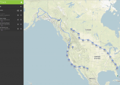
Feature Highlight: GSatTrack - Journeys
New Feature Live in GSatTrack!
We are incredibly excited to announce the release of a new feature for GSatTrack, which many of you may have already seen in the live version. Journeys, further broken into Trips, are collections of segments of asset reporting history. This is a feature set that we have been planning internally for nearly two years, and a recent partnership has made the need for it a reality.
About Journeys and Trips
Journeys give...
More
More
Construction Companies use GSatTrack for BIM
Most GIS systems incorporate mapping imagery or layers is by purchasing licenses from a single mapping provider. This provider may also offer additional historical satellite imagery for use by the GIS provider, but the images provided may be antiquated or out of date, with recent construction or natural events which change the natural landscape and topography of an area omitted. To address this, clients often opt to use their own imagery in...
More
More
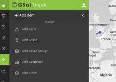
GSatTrack How to Series: Accessing the UI
Scott walks us through the basics of the GSatTrack User Interface.
...
View
View
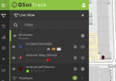
GSatTrack How to Series: Live Mode
Scott shows us the basic interface for the Live Mode in GSatTrack.
...
View
View
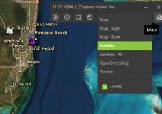
GSatTrack How to Series: Map Tiles
Scott takes a minute to explain the different map view options from the map control panel.
...
View
View
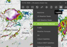
GSatTrack How to Series: Map Layers
In this mega-episode (almost 5 minutes of action!) of the GSatTrack How to Series, Scott breaks down the use of the map layers available to the portal users, as well as the ways in which users can customize their layers to include specialized data, information, and visuals.
...
View
View

