Low-cost Solar Powered Satellite Tracking Bundle
Tracking anything under the sun wherever cellular connectivity is not available and when changing batteries is not practical, is now an attainable and affordable reality. Using the latest technology, GSE has bridged an expensive gap in satellite tracking by developing the GSatSolar Series, a set of low-cost, compact, rugged, solar-powered terminals.
Imagine the Possibilities
So many new applications open up with the GSatSolar bundle.
- UNLIMITED Data and GPS Tracking plan at $40/month
- One time cost of $199 for the device with a $30 activation fee
- Optional modular mounting clip for $10
About GSatTrack
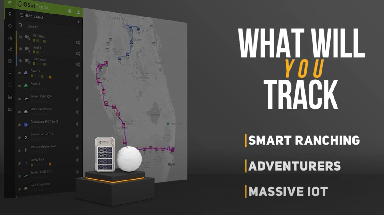
GSatTrack is a complete telematics solution that provides a universal, hardware agnostic, cloud-based, data visualization and management platform that allows managers to track, command, and control assets in near-real-time. Discover the multitude of strategic user-friendly features available for you to manage your GSatSolar device to enhance safety, and increase asset protection, with time efficient processes.
GSatTrack is designed to stimulate strategic solutions to address your customers specific needs, and to create new opportunities your customers may not have known existed that they will realize that they must have.
As you read through examples of available features below that you can apply to your GSatSolar applications, imagine the benefits this translates to your customers!
Automated Asset Relation Alerts: If you have a convoy of trucks, shipping containers, or a group of people, and one or more of those assets becomes separated from the rest, you can set up automated Alerts freeing up the portal operator from having to constantly monitor the entire group. For example, you can set up an “Enter Geofence” Alert, or an “Exit Geofence” Alert to let people know when one or more assets enters or leaves a designated area.
Geofences via shape, free flow, or exact route: Geofences can be drawn radially around a Place, Asset, Route (using the Get Route Tool), or drawn around any point on a map, or they can be drawn as a polygon. When done, the user can assign a color to the Geofence for quick association. GSE has taken Geofence technology one step further with its “Route Geofence” to help ensure drivers follow predefined routes with the ability to create a Geofence around a driving directions route.
Alert Workflow: GSatTrack offers several configuration options to assist portal operators in understanding the action that may need to take place to resolve an important Alert event. These workflow notifications allow support supervisors to be notified when these important Alerts are resolved and will include the resolution response entered by the operator who acknowledges the Alert. Using the Alert workflow, GSatTrack allows support services great flexibility and accountability when dealing with Alerts that require real-world, time-sensitive responses or follow-ups.
Places: Places indicate specific points on the map that have been saved to the user’s account in order to be accessed, referenced, visible, and/or utilized in combination with or by other features. Places perform a number of essential tasks as storage units for Locations and other information in the portal, but in times of emergency, can be a critically important tool to the safety and security of personnel.
Position Reports and Activity Reports: GSatTrack offers position and activity reports, which support Excel and PDF exporting options. These reports can be run directly on the portal or scheduled to be emailed, and are not limited in their export capability. GSatTrack allows you to run your reports across all your assets, specific groups, and/or specific assets.
Map Layers and Custom Map Layers: You can toggle through the many default Map Layers integrated into GSatTrack such as the Maritime Map Layer that displays depths, boundaries, and locations of dangers or aids to navigation; US Weather radar & AUS Weather radar Map Layer; Traffic Map Layer that displays traffic conditions on major roadways; Oil Map Layer that displays grid map of the oil activity and drilling areas along the us coast; Weather Forecast; and major Satellite Network Constellations, including Iridium, Inmarsat, and Globalstar. Users have the option of configuring their own Map Layers and overlays, whether by creating their own Map Layer file and uploading it to the portal, or by connecting another mapping service’s layer file to the portal.
GSatTrack supports KML, GeoJSON, GPS and Image Overlays, as well as Tile and Web Map Services (WMS) layers to help costumes enhance their map views and provide valuable at-a-glance context for the locations assets may be occupying.
Journeys: Further broken into Trips, Journeys are collections of segments of asset reporting history. The Journeys feature allows people to view specified segments of asset reporting history as static elements in both Live Mode and History Mode. Imagine the added value of being able to isolate specific segments of their asset position history and compare them with data from different periods of time.
What new applications do you want to start offering to your customers?
The possibilities are endless, and we cannot wait to assist you in helping you help your customers! Contact us individually or contact our general sales division at sales@gsat.us to jumpstart your curiosities. Here to Help!


